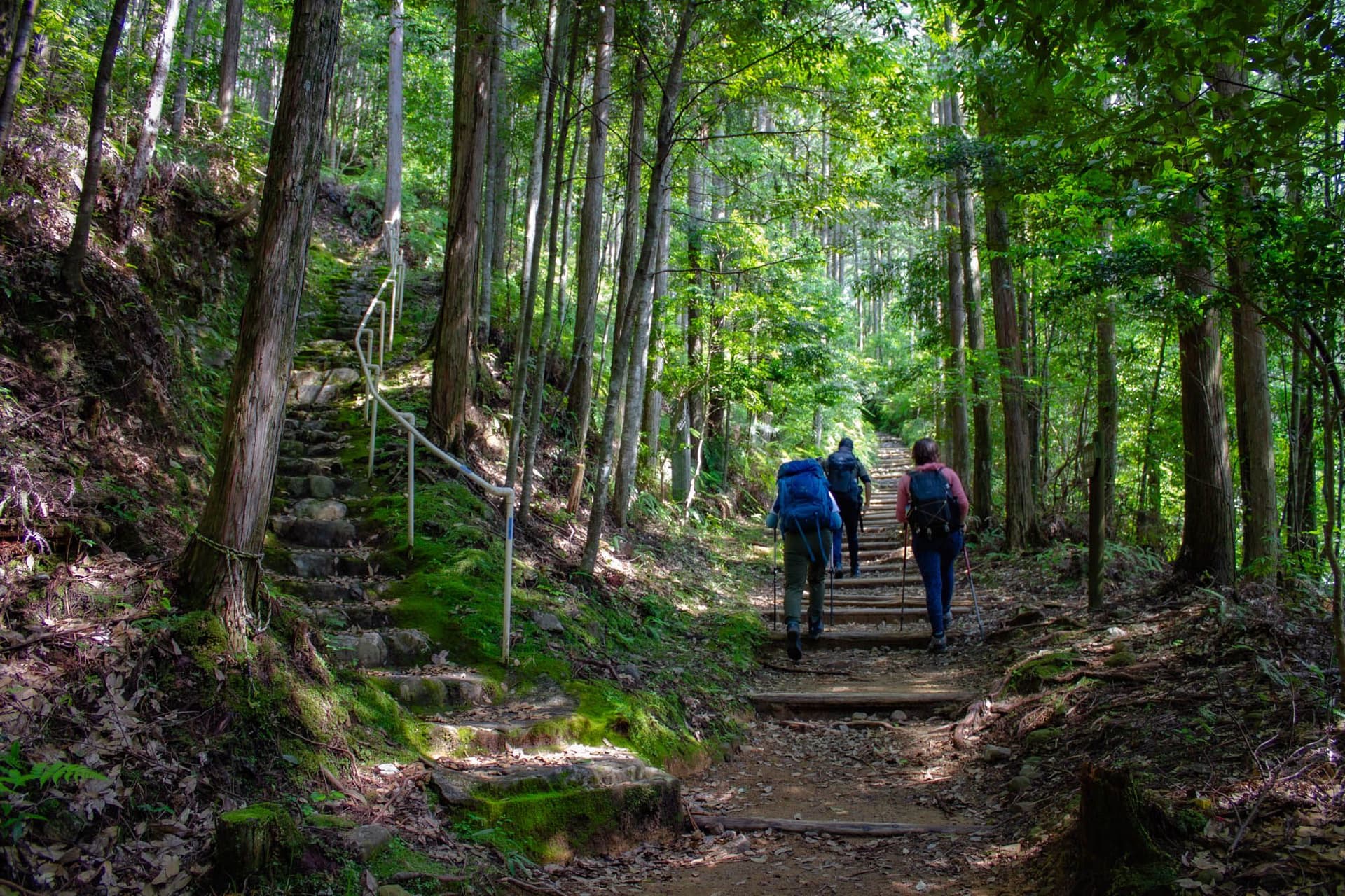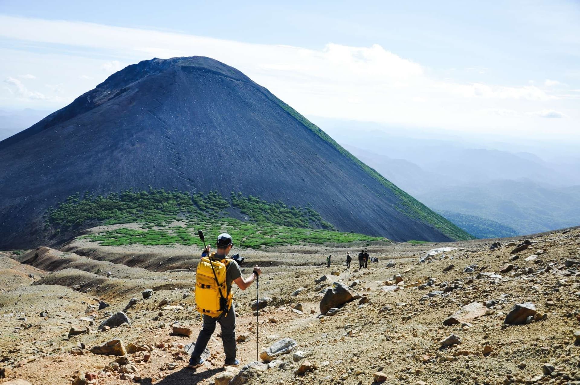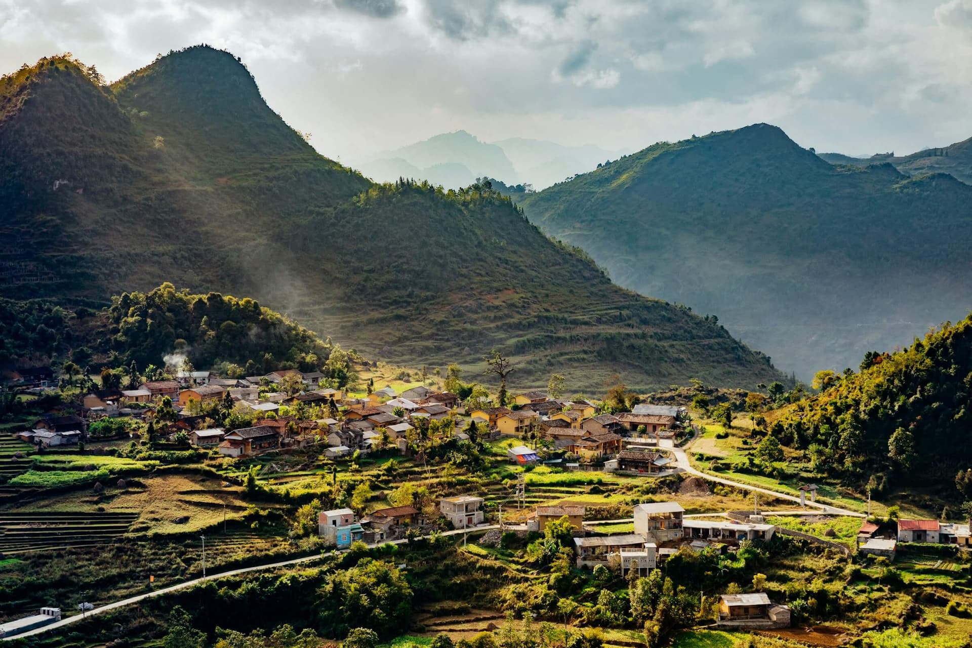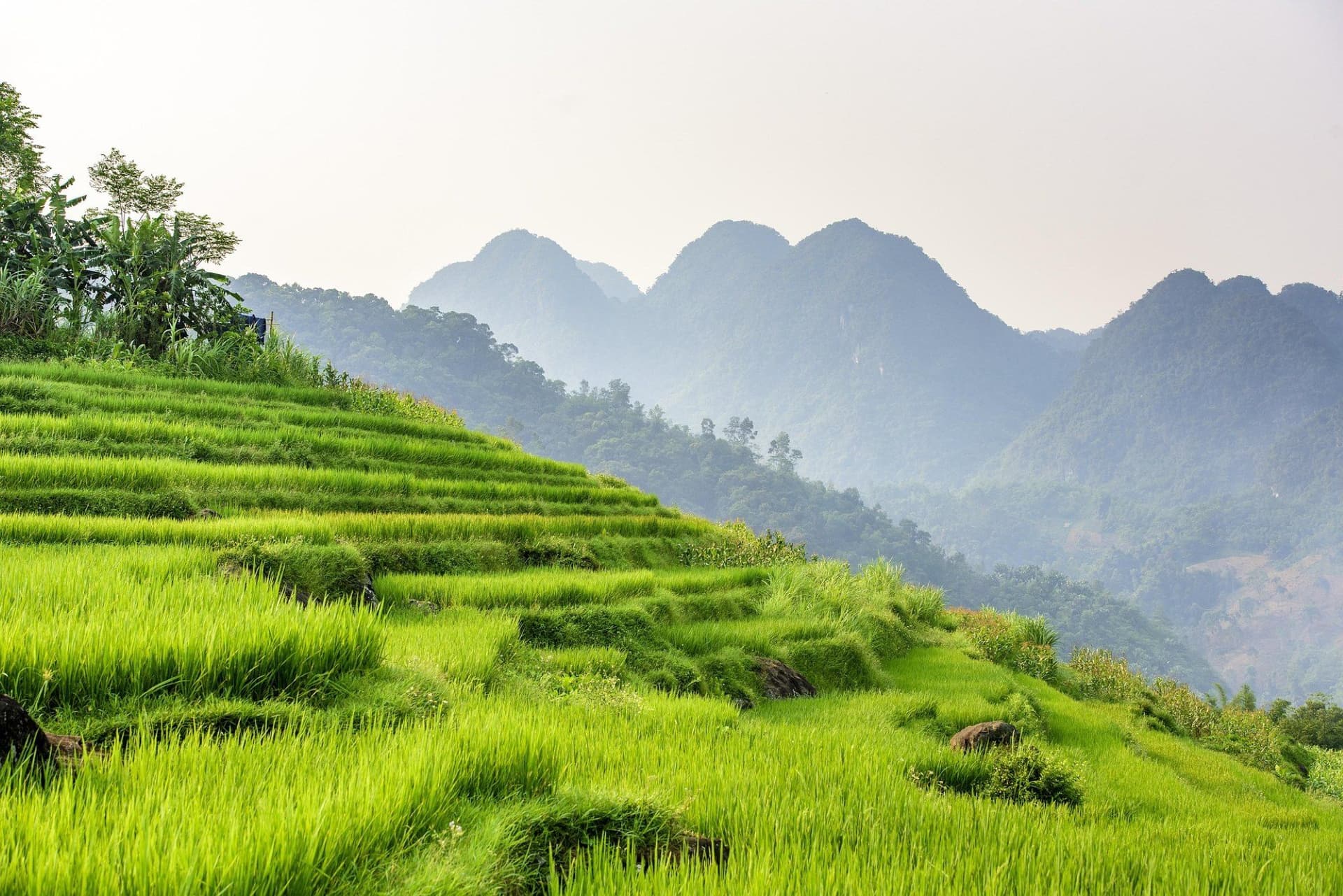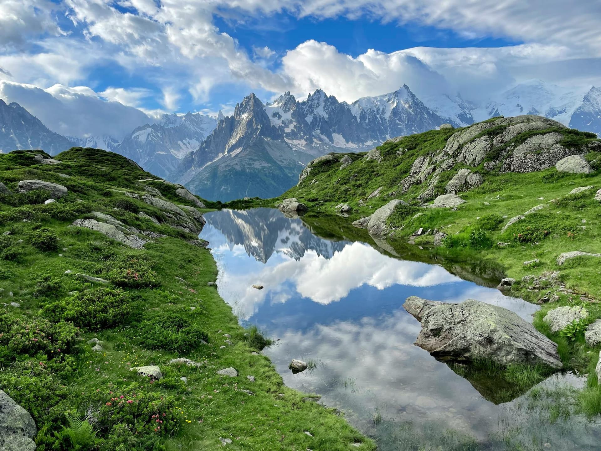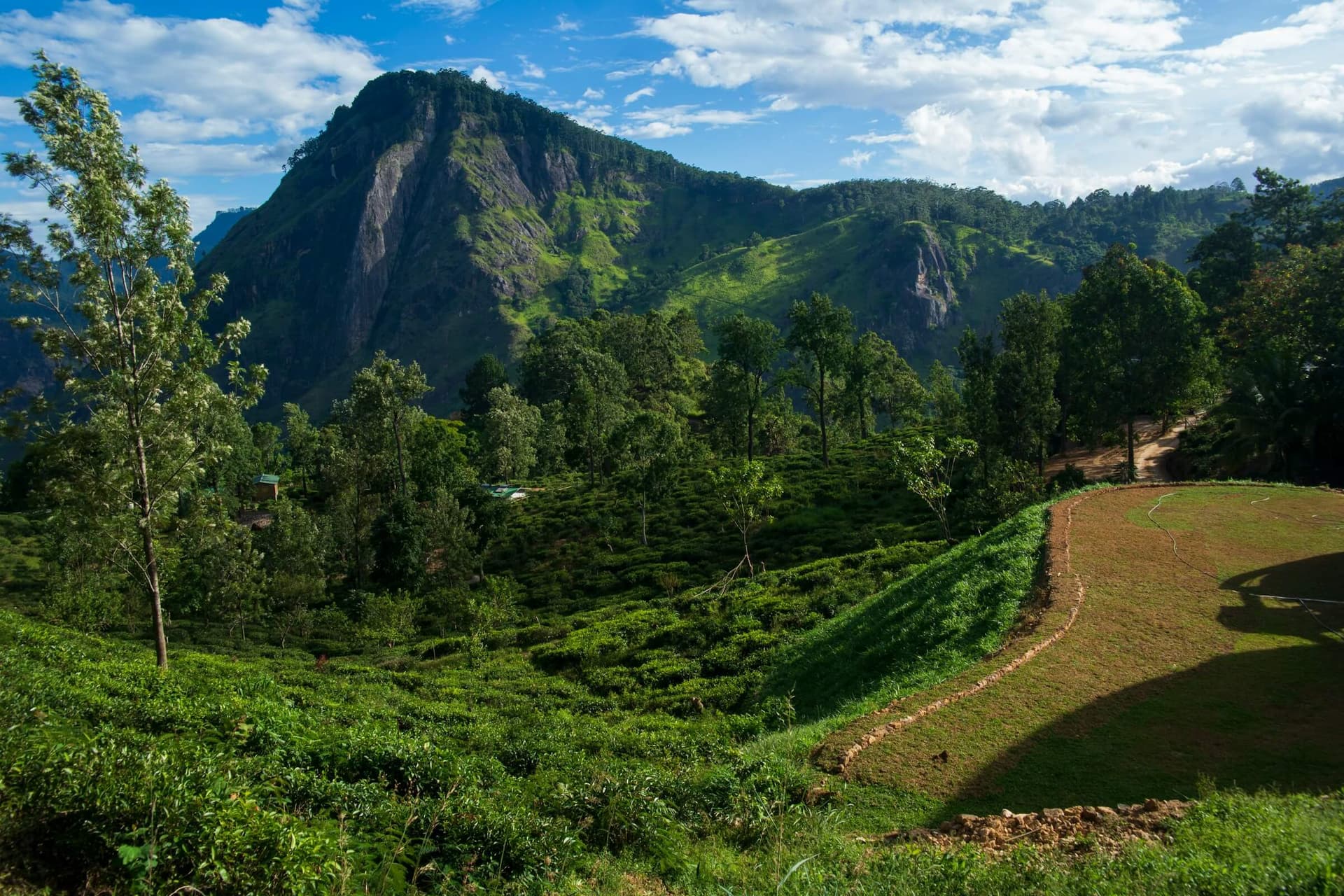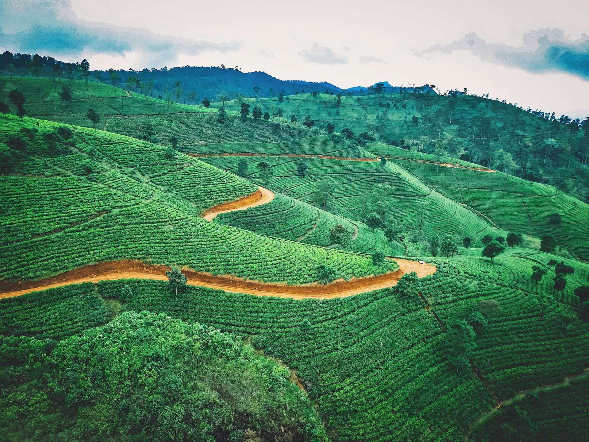
Georgia sits at a genuine geographic hinge, where the Greater Caucasus divides Europe from Asia along a line of peaks that rival the Alps for scale, if not for infrastructure. The country is compact, about 69,700 sq km (26,911 sq mi), but it climbs from Black Sea beaches at sea level to Mount Shkhara at 5,193 m (17,037 ft) in under 150 km (93 mi) of horizontal distance. That compression is what makes the hiking here feel disproportionate to the country's size.
The Greater Caucasus runs the full length of the northern border and holds nearly every peak that matters to hikers. Shkhara, the highest point in Georgia, anchors the Svaneti massif alongside Ushba, a twin-horned peak at roughly 4,710 m (15,453 ft) that is one of the most photographed mountains in the range despite being technical enough that few hikers reach its base unguided. To the east, Mount Kazbek rises to 5,054 m (16,581 ft) above the town of Stepantsminda, a dormant volcano visible from the Georgian Military Highway long before the town comes into view.
South of the main range sits a distinctly different landscape. The Lesser Caucasus, older and more rounded, covers much of central and southern Georgia and includes Borjomi-Kharagauli National Park, a forested plateau of beech and spruce that offers a gentler, well-marked contrast to the glaciated north. Further east, the Alazani Valley in Kakheti opens into the country's main wine region, a flat basin of vineyards backed by the Caucasus skyline. West toward the Black Sea, the humid hills of Adjara add a fourth landscape entirely, with rainforest-like conditions in places like Mtirala National Park.
Wildlife reflects this range of habitat. Golden eagles and bearded vultures work the thermals above the high passes, East Caucasian tur, a wild goat found only in this range, graze cliff bands above 2,500 m (8,200 ft), and brown bears persist in the forested valleys of Svaneti and Racha, rarely seen but occasionally reported by shepherds. Semi-feral Caucasian shepherd dogs guard livestock at high pastures throughout the range, a detail that matters more to a hiker's daily experience than most wildlife on this list, and one this guide returns to under safety.
Explore our amazing hiking tours in Georgia now!
Georgia's mountains have never been empty. The Svan people of Upper Svaneti, the Tush of the northeast highlands, and the Khevsur of the remote valley around Shatili each built distinct highland cultures adapted to a landscape that was, for most of its history, a frontier rather than a destination. Their legacy is visible on the trail itself, not tucked away in a museum.
The clearest evidence is architectural. Upper Svaneti's stone defensive towers, built mostly between the ninth and thirteenth centuries, still stand in villages like Mestia and Ushguli, some more than 20 m (66 ft) tall. Families built them for protection against invading armies moving through Caucasus passes and, just as often, against blood feuds between Svan clans, a practice that continued in some form into the twentieth century. UNESCO listed Upper Svaneti as a World Heritage site in 1996 specifically for this tower architecture, and Ushguli, at roughly 2,200 m (7,218 ft), is often cited as the highest continuously inhabited settlement in Europe.
Georgia's national story runs alongside this highland history rather than through it. The kingdom adopted Christianity in the early fourth century, among the first nations to do so, and Georgian Orthodox identity remains a strong thread through even the most remote mountain villages, where small stone churches sit above nearly every settlement. The medieval Golden Age under Queen Tamar in the twelfth and thirteenth centuries is still referenced constantly in Georgian place names and folklore. Centuries of contest between Persian, Ottoman, and Russian empires followed, and Georgia spent much of the twentieth century as a Soviet republic, a period that closed the high Caucasus to nearly all outside travel.
Independence in 1991 did not immediately reopen these valleys. Tusheti and Khevsureti, in particular, lost much of their population to lowland resettlement during the Soviet period and have never fully recovered, part of why they still feel so quiet compared to Svaneti. More recent history sits closer to the surface than many visitors expect. Georgia's northern border runs against the Russian republics of the North Caucasus, and the country lost effective control of the breakaway regions of Abkhazia and South Ossetia following conflicts in the 1990s and again in 2008. Neither region belongs on any hiking itinerary, and their administrative boundary lines should be treated as a hard no-go.
One detail catches first-time visitors off guard more than any other logistics question, and it earns its own section rather than a line item further down. Tusheti, Khevsureti, and parts of upper Svaneti sit inside a formally designated border zone, a strip of territory along Georgia's frontier with Russia's North Caucasus republics, where movement is regulated by the Georgian Border Police rather than left entirely to hikers and guesthouse owners. In practice, this means carrying a passport at all times in these regions, not just as a formality but because checkpoints exist and are staffed.
The road into Tusheti over the Abano Pass has a police checkpoint at its base where documents are checked before the ascent begins. Shatili, at the Khevsureti end of the classic Omalo to Shatili trek, sits close enough to the Chechen border that the route has, at various points, required advance notice, and conditions can shift with regional security developments. None of this amounts to heavy bureaucracy for a hiker walking established routes with a guide or a registered guesthouse behind them, but it is a meaningfully different system from a standard national park permit.
The practical takeaway is simple. Hikers heading into Tusheti or Khevsureti should carry a passport at all times, book through operators or guesthouses who understand current border zone requirements, and check for updates from the Georgian Border Police or a knowledgeable local operator in the weeks before travel, since regulations here shift more often than trail conditions do.
Georgia's hiking season is short and regionally uneven, which makes timing one of the more consequential planning decisions for this destination.
July through September is the reliable window across nearly the entire Georgian Caucasus. Daytime temperatures in the high country typically run 15 to 25°C (59 to 77°F), with nights well below freezing above 3,000 m (9,800 ft). This is also the only period when the Abano Pass into Tusheti is reliably open, since the road is closed by snow for roughly eight months of the year and reopens only once summer melt clears it, usually by early June. Late July and August bring the most stable weather but also the most people on routes like Mestia to Ushguli, along with the heaviest mosquito activity in lower forested valleys.
September and the first half of October extend the season with cooler air, clearer visibility, and noticeably fewer people on the trail. This is a strong window for Svaneti and Kazbegi, though hikers should watch the forecast closely, since early snow can close high passes with little warning, and Tusheti guesthouses typically shut for the season by early to mid October ahead of the Abano Pass closure.
April through June is not a good period for high-altitude hiking in Georgia. Snowpack lingers on passes above 2,500 m (8,200 ft) well into June, river crossings run high and cold with meltwater, and Tusheti remains cut off by the Abano Pass closure for most of this window. Lower-elevation routes in Borjomi-Kharagauli or the Black Sea hills near Adjara are workable earlier, but the high Caucasus is best left until July.
November through March effectively closes the mountain trail network. Heavy snow, avalanche risk, and the closure of the Abano Pass and most guesthouses rule out anything beyond short, low-elevation walks near Tbilisi or the Black Sea coast. Winter travel to Georgia suits the ski resorts at Gudauri or Bakuriani far better than it suits hiking.
Georgia does not have one flagship trail the way Nepal has the Annapurna Circuit or New Zealand has the Milford Track. What it has instead is a set of regional routes at different levels of infrastructure and difficulty, plus a long-distance connector still under construction. The following six give a genuine cross-section of what hiking Georgia actually looks like, from the most polished route in the country to its rawest frontier.
This is the classic Georgian trek and the natural starting point for a first visit. The route runs from Mestia, Svaneti's main hub, through a string of tower villages including Zhabeshi and Adishi, crossing high pasture and one glacial approach near the Adishi Glacier before descending into Ushguli. Guesthouses appear at intervals close enough that most hikers walk the entire route without carrying a tent, making it the most accessible multi-day trek in the country for hikers without technical backcountry experience.
Quick Facts: Mestia to Ushguli Total Distance. 55 to 70 km (34 to 44 mi), depending on route variant Duration. 4 to 6 days Difficulty. Moderate High Point. Guli Pass area, roughly 2,960 m (9,712 ft) Best Season. Late June through September Highlights. Svan towers, Ushba views, Adishi Glacier, Ushguli's UNESCO village
A shorter, more dramatic route through the jagged Chaukhi massif east of Stepantsminda. The trail climbs steeply from the shepherd village of Juta to the Chaukhi Pass, then descends past the Abudelauri Lakes, three small alpine lakes colored blue, green, and white by mineral content, before reaching the village of Roshka. It is short enough to walk in a long single day but interesting enough that most hikers prefer to camp near the pass and split it over two.
Quick Facts: Chaukhi Pass Trek Total Distance. 17.5 km (11 mi), Juta to Roshka Duration. 1 to 2 days Difficulty. Moderate to challenging High Point. Chaukhi Pass, approximately 3,338 m (10,951 ft) Best Season. July to September Highlights. Abudelauri Lakes, Chaukhi massif spires, lighter crowds than Mestia
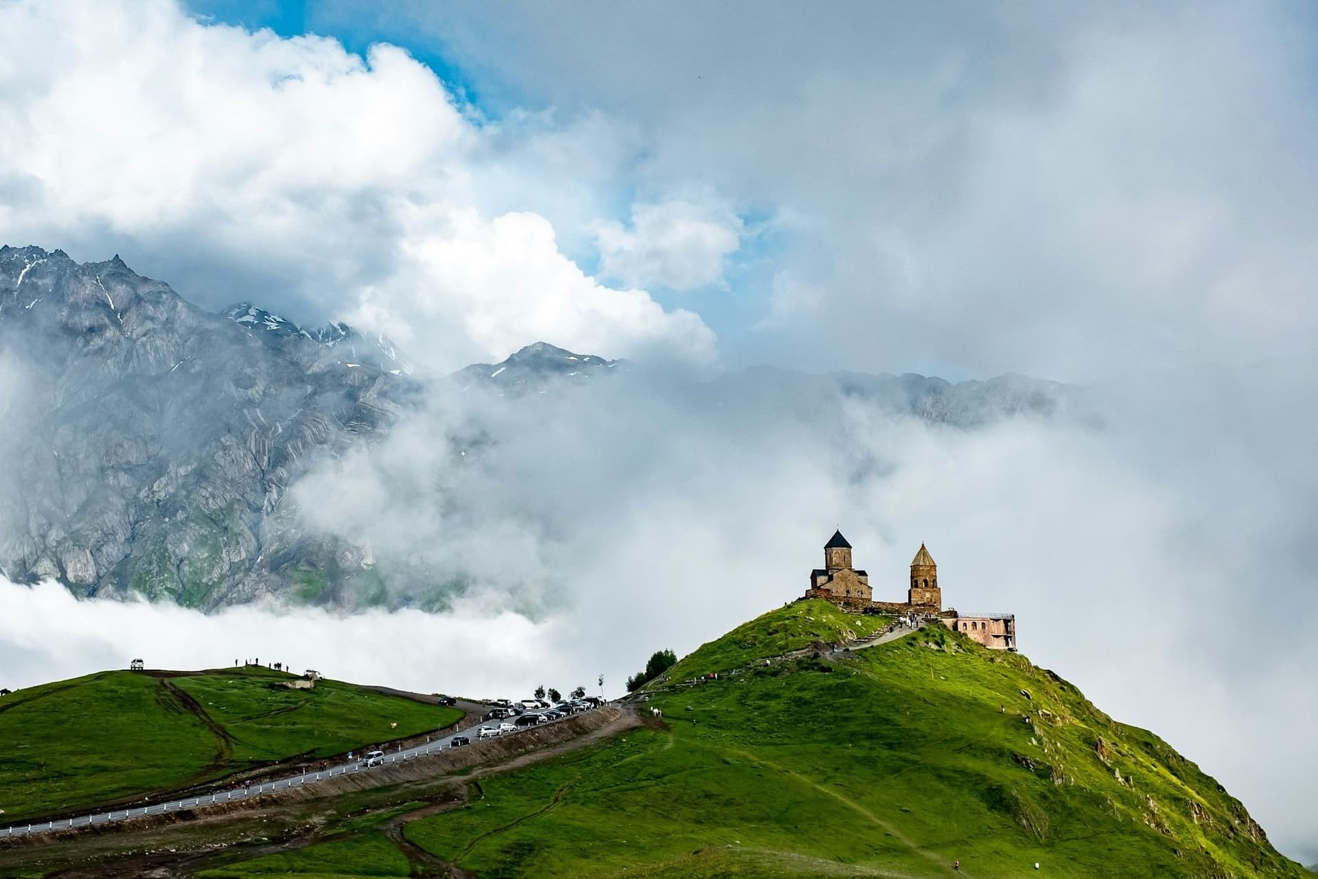
The signature day trek from Stepantsminda climbs past the fourteenth-century Gergeti Trinity Church to the foot of Mount Kazbek's glacier, gaining more than 1,600 m (5,249 ft) to finish above 3,300 m (10,827 ft) near the Soviet-era Meteo Station, often called the Altihut. It is a demanding day out rather than a scenic stroll, and it converts easily into an overnight for hikers who want to watch sunrise on Kazbek's summit ridge from the hut.
Quick Facts: Gergeti Glacier Trek Total Distance. 26 to 27 km (16 to 17 mi) round trip Duration. 1 long day, or 2 with a hut stay Difficulty. Challenging High Point. Meteo Station, roughly 3,300 m (10,827 ft) Best Season. July to September Highlights. Gergeti Trinity Church, close views of Kazbek's summit, Soviet-era mountain hut
Tusheti sees a fraction of the hikers that Svaneti does, largely because of the border zone rules and the isolation created by the Abano Pass. The payoff for the extra planning is a region where stone tower villages like Dartlo, Parsma, and Girevi feel less like tourist stops and more like working shepherd settlements, which is exactly what they are. Routes here tend to link village to village over several days rather than follow one named trail, and can extend toward Khevsureti via the more demanding Atsunta Pass route to Shatili for hikers with more time and experience.
Quick Facts, Tusheti Village Circuit Total Distance. Typically 30 to 50 km (19 to 31 mi) over a multi-day loop Duration. 3 to 5 days Difficulty. Moderate, challenging on the Shatili extension Best Season. Mid-June through September, road-dependent Highlights. Tower villages of Dartlo and Parsma, Tush shepherd culture, minimal hiker traffic
A useful counterpoint to the high Caucasus treks above. Borjomi-Kharagauli covers 105,000 hectares (259,000 acres) of the Lesser Caucasus with a network of 12 marked trails ranging from gentle loops to a 54 km (34 mi) multi-day traverse, considerably better signposted than most routes further north. It suits hikers building acclimatization before Svaneti or Kazbegi, or anyone short on time who still wants a genuine multi-day forest trek.
Quick Facts: Borjomi-Kharagauli Total Distance. 3 to 54 km (2 to 34 mi), trail dependent Duration. Day hikes up to 3 days Difficulty. Easy to moderate Best Season. May through October Highlights. Beech and spruce forest, well-marked network, lower elevation and lower risk
The Transcaucasian Trail is the long-distance project that links the country's regional trekking into one route, eventually intended to run roughly 3,000 km (1,864 mi) across Georgia, Armenia, and Azerbaijan. Inside Georgia, only the Svaneti sections carry consistent waymarking. Beyond that, hikers moving through central Georgia toward Oni, Sachkhere, and eventually the wine country near Gandzani are navigating largely unmarked terrain by GPS, using tracks published through the trail association's hiker registration program. This is the route for experienced backcountry hikers who want to see a trail network still being built in real time, not a route to attempt as a first Caucasus trip.
Quick Facts: Transcaucasian Trail Georgia Section Total Distance. Roughly 400 km (249 mi) currently hikeable in sequence Duration. 3 to 6 weeks for a full traverse Difficulty. Very challenging Best Season. Late June through September Safety Note. Largely unmarked outside Svaneti, GPS navigation required
Dive into our curated Georgia hiking adventures today!
Food is not a side note to hiking Georgia. It is close to the point of it in the villages where multi-day treks end each evening, and it deserves the same attention a hiker would give the trail itself.
Khinkali are the dish most visitors learn first, soup-filled dumplings pinched into a topknot, traditionally eaten by hand and by the twist, never the topknot itself, which is left on the plate as a rough count of how many a person has eaten. Khachapuri, Georgia's cheese bread, changes shape by region, from the round Imeretian version to the boat-shaped Adjaruli with a raw egg and butter melted into the center, to the double-crusted Megrelian style topped with extra cheese. In Svaneti specifically, kubdari, a dense bread filled with spiced meat, replaces khachapuri as the local staple, and Svanuri marili, a garlic and herb salt blend, ends up on nearly everything served at a Svan guesthouse table.
Trail food in the mountains leans on what travels well and what shepherd households have always carried. Churchkhela, walnuts strung on thread and dipped repeatedly in thickened grape juice until it sets into a firm, chewy coating, functions as Georgia's original energy bar and turns up in every market from Tbilisi to Mestia. Guda, a sheep's cheese aged in a sheepskin casing, is a Tusheti specialty worth seeking out at a village guesthouse. Guesthouse dinners across Svaneti, Kazbegi, and Tusheti are typically home-cooked and served family style, often the single best meal of a multi-day trek.
No account of Georgian food culture skips the supra, the traditional feast built around a tamada, a toastmaster who leads structured rounds of toasts covering everything from ancestors to peace among the guests at the table. It is not a meal a hiker stumbles into by accident, but guesthouse hosts in trekking regions will sometimes host an informal version for guests, worth accepting if offered. Wine runs underneath all of it. Georgia's qvevri winemaking tradition, in which wine ferments in large clay vessels buried underground, dates back roughly 8,000 years and was recognized by UNESCO as intangible cultural heritage in 2013, making Georgia a strong claimant to the title of the world's oldest wine-producing country. Chacha, a strong grape pomace brandy, tends to follow the wine at the end of a supra and is not for hikers planning an early trailhead start.
Resupply on the trail itself is straightforward in guesthouse-linked regions like Svaneti, where each overnight stop includes dinner and breakfast, and less straightforward on remote stretches of the Transcaucasian Trail, where hikers should carry several days of dried food between the last reliable shop and the next.
Georgia never developed the formal alpine hut network found in the Alps, no equivalent of Austria's ÖAV or Sweden's STF system with a membership card and a fixed nightly rate. What it has instead suits the terrain just as well, a dense network of family-run guesthouses that lets hikers walk hut to hut, or guesthouse to guesthouse, through Svaneti and Tusheti without carrying camping gear.
Guesthouses are the backbone of accommodation on the most popular routes for hiking in Georgia. A typical night on the Mestia to Ushguli trek or a Tusheti village circuit runs somewhere in the range of 40 to 80 GEL (roughly 15 to 30 USD) per person including dinner and breakfast, though prices climb in peak season and in the most visited villages. Rooms are simple, usually shared bathrooms, and the meal is the real draw. Booking ahead matters in July and August on the Mestia to Ushguli corridor, where the busiest villages can fill up, but is generally less critical in quieter regions like Tusheti.
Formal mountain huts are rare and concentrated around the highest peaks. The Meteo Station on Kazbek, often called the Altihut, is the best known, sitting above 3,000 m (9,800 ft) and used mainly by hikers and climbers heading toward the summit route. Elsewhere, hut infrastructure on the Transcaucasian Trail remains thin, and long-distance hikers should expect to camp for extended stretches outside Svaneti.
Wild camping is legal across most of Georgia and widely used on the less developed sections of trail, particularly the Transcaucasian Trail beyond Svaneti. Water sources are generally reliable in the high country but should still be treated. The exception is the border zone covered earlier, where camping locations near sensitive frontier areas may be restricted and should be confirmed with local guesthouse hosts or an operator before pitching a tent.
Tbilisi International Airport is the main gateway, with connections across Europe and the Middle East. Kutaisi International Airport, roughly a two-hour drive from Svaneti, has grown into a genuine second option thanks to a wider range of budget carriers. From Tbilisi, Mestia is reachable by a roughly nine-hour marshrutka minibus ride, a seasonal domestic flight to Mestia's small Queen Tamar Airport, or a private transfer. Stepantsminda, the base for Kazbegi, sits about three hours from Tbilisi along the Georgian Military Highway. Omalo, the gateway to Tusheti, requires seven to eight hours by 4x4 vehicle over the Abano Pass, a road not accessible to standard cars and closed outside roughly June to October.
Waymarking is inconsistent enough outside Svaneti's core routes that GPS is not optional for anything beyond a guided day hike. Organic Maps and Gaia GPS are the two most commonly used apps among hikers here, and GPX tracks for mapped Transcaucasian Trail sections are published through the trail association's hiker registration program. Paper maps from specialist publishers cover Svaneti and Kazbegi reasonably well, but coverage thins considerably further into central Georgia.
As covered earlier in this guide, Tusheti, Khevsureti, and parts of Svaneti sit inside a regulated border zone. Carry a passport at all times in these regions and confirm current access rules before travel, since they can shift with little notice.
Georgia uses the Georgian Lari (GEL). Cash is still preferred in mountain villages, and ATMs become scarce once a hiker moves past regional hubs like Mestia or Stepantsminda, so withdrawing enough cash in Tbilisi or a larger town before heading into the mountains is worth the extra step.
The most consequential safety rule here is political rather than mountain-related. The breakaway regions of Abkhazia and South Ossetia are not part of any route in this guide, and their administrative boundary lines should be treated as firmly off limits. On the trail itself, semi-feral Caucasian shepherd dogs guarding livestock at high pastures are a more immediate concern than wildlife; hikers should give herds a wide berth, avoid direct eye contact with guard dogs, and carry trekking poles. Mobile coverage disappears in most high valleys, mountain rescue capacity is limited compared to the Alps, and travel insurance with high-altitude evacuation cover is worth arranging before departure rather than after an injury.
Get started with your Hiking adventure now!
No general permit is required for the country's national parks or popular trekking regions like Svaneti and Kazbegi. The exception is the border zone covering Tusheti, Khevsureti, and parts of Svaneti, where passport checks apply and, depending on the specific route and current regulations, advance registration may be required.
It ranges widely by route. Borjomi-Kharagauli and short sections around Mestia suit a moderately fit hiker with some multi-day trekking experience, while routes like the Gergeti Glacier trek or the unmarked Transcaucasian Trail sections demand strong fitness, altitude tolerance, and independent navigation skills. Most hikers should plan a few days of lower-altitude walking before attempting anything above 3,000 m (9,800 ft).
Independent hiking is realistic on well-marked, popular routes such as Mestia to Ushguli, especially with a GPS app loaded. A guide becomes far more valuable, and in some cases effectively necessary, on unmarked trail sections, glacier approaches near Kazbek, and any route through the border zone where local knowledge of current access rules matters.
For hikers who stay away from the occupied territories of Abkhazia and South Ossetia and follow standard mountain precautions, this destination carries no unusual risk beyond what any remote, thinly serviced mountain range presents. The main practical hazards are weather that turns quickly at altitude, limited mobile coverage, and livestock guard dogs rather than any political instability along the routes covered here.
Late July through September gives the most reliable combination of open passes, warm days, and functioning guesthouses across every major region. Early to mid September often offers the best balance of good weather and thinner crowds on the busier Svaneti routes.
Yes, and many itineraries do exactly this. Kakheti, the country's main wine region, sits at low elevation and pairs naturally with a mountain trek in Svaneti or Kazbegi either before or after, giving hikers a few days of vineyard walks and qvevri wine tastings to bookend the high country.
Layered clothing for a wide daily temperature swing, a reliable rain shell, and sturdy boots are the baseline for any of the routes in this guide. Above 3,000 m (9,800 ft), that expands to proper cold-weather layers and, for glacier approaches like Kazbek, technical gear best arranged through a local guide.
No. As of the most recent hiking seasons, only sections through Upper Svaneti carry consistent waymarking. Beyond Svaneti, the trail exists largely as a GPS route supported by hikers' own registered tracks rather than a signposted path, and it should be treated as a serious backcountry undertaking.
Yes. Mountain rescue infrastructure in Georgia is limited compared to the Alps, and evacuation from remote regions like Tusheti or the higher reaches of Kazbek can take considerable time to arrange. Insurance that specifically covers high-altitude trekking and helicopter evacuation is a reasonable requirement for any multi-day route in this guide.
Hiking in Georgia suits a traveler who wants genuine mountains without a fully finished trail system standing between them and the experience. Svaneti offers enough infrastructure for a first-timer to walk confidently between tower villages, while Tusheti, Khevsureti, and the unmarked stretches of the Transcaucasian Trail hold something rarer, a highland culture and a trail network that outside visitors are still only beginning to properly map. That combination, polish in one region and frontier in the next, is unusual to find in a country this compact and this close to Europe.
What sets it apart from the Alps or the more established Himalayan circuits is the guesthouse system itself, a form of hospitality shaped by centuries of shepherd culture rather than built for tourism, paired with a mountain range whose modern trekking history is barely two decades old. Explore our guided hiking journeys in Europe at Art of Active Travel.
Explore our amazing hiking tours now!
Create a private trip or join a small-group departure.