Chat with us on WhatsApp. We're just a message away.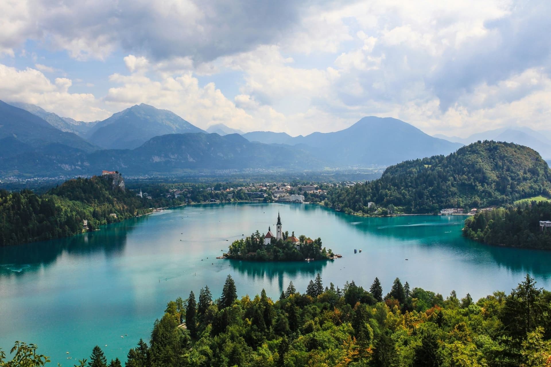
Slovenia packs three mountain ranges, a limestone karst plateau, a stretch of Adriatic coast and a capital city ringed by vineyards into a country smaller than New Jersey. Hiking in Slovenia works precisely because of that compression: a hiker can stand on a 2,000-metre summit in the morning and eat dinner beside a vineyard the same evening. Nowhere else in the Alps offers that kind of range within such a short drive.
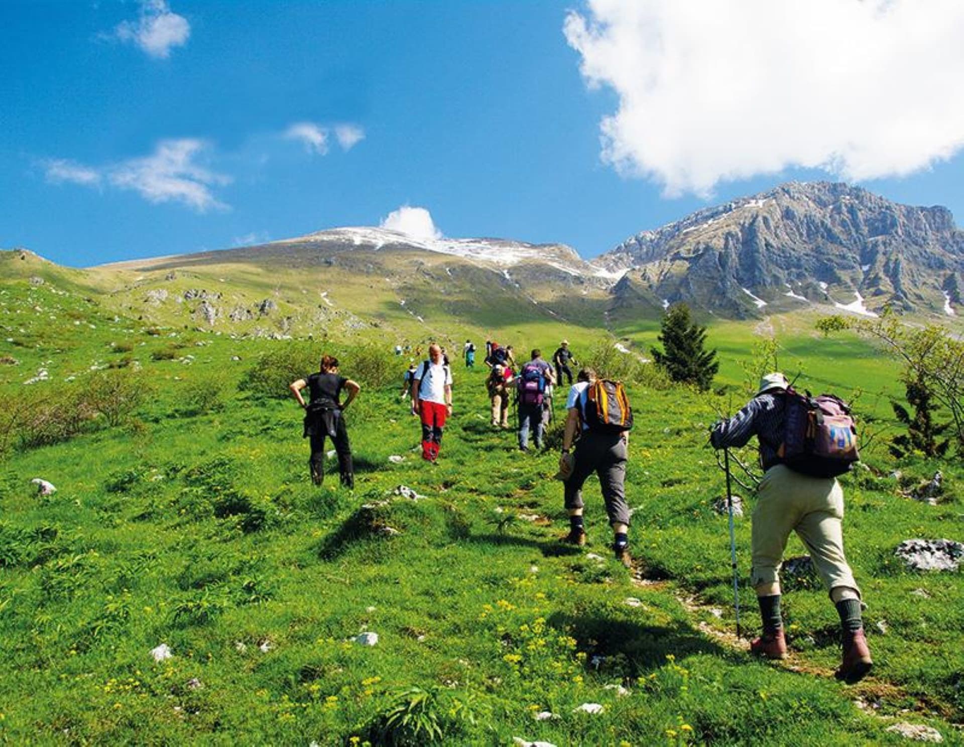
The country's hiking network runs on infrastructure most nations would envy: over 10,000 km of marked trail, maintained largely by volunteers from the Alpine Association of Slovenia (PZS), and a red-and-white waymark system consistent enough that a hiker who has never set foot in the country can navigate confidently within a day. The high alpine core sits in the Julian Alps and Triglav National Park, where limestone peaks rise straight out of forest and the country's glacier-carved lakes glow an improbable turquoise. Hiking Slovenia at this altitude means earning the view: unlike the Austrian or Swiss Alps, there are few cable cars and fewer paved summit roads. Reaching Mount Triglav, the 2,864 m (9,396 ft) peak that appears on the national flag, still requires a genuine two-to-three day effort.
Set honest expectations before booking: multi-day treks here reward fitness and a tolerance for exposed rock more than they reward speed. The Julian Alps, with fifteen summits above 2,000 m, include narrow ridgelines secured with steel cable, and even the country's gentler long-distance routes, the Juliana Trail and the Alpe Adria Trail, cover hundreds of kilometres between valleys and passes. This is not a destination for a single afternoon stroll to a viewpoint. It suits a full week or more.
What makes the country distinctive is not only the peaks. Slovenia is one of only two countries in Europe with a mountain on its national flag, and that symbolism runs deep. Climbing Triglav at least once is close to a rite of passage for many Slovenes, and the trail culture, mountain huts, consistent waymarking, a habit of greeting every hiker on the path, reflects a national relationship with the mountains that goes back more than a century. This guide covers the geography that shapes every route, the history behind the trail corridors, the hut culture that defines multi-day hiking here, the best trails across all three mountain ranges and the subalpine hills beyond them, and the practical planning details, food, accommodation, logistics and safety, that a serious hiker needs before booking a trip.
Explore our amazing hiking tours in Slovenia now!
Slovenia sits at a genuine crossroads: the southeastern tail of the Alps drops into the Pannonian plain on one side and the Adriatic Sea on the other, with the Dinaric karst folding in from the south. In a country of just 20,273 sq km (7,827 sq mi), four distinct landscape systems meet within a few hours' drive of each other.
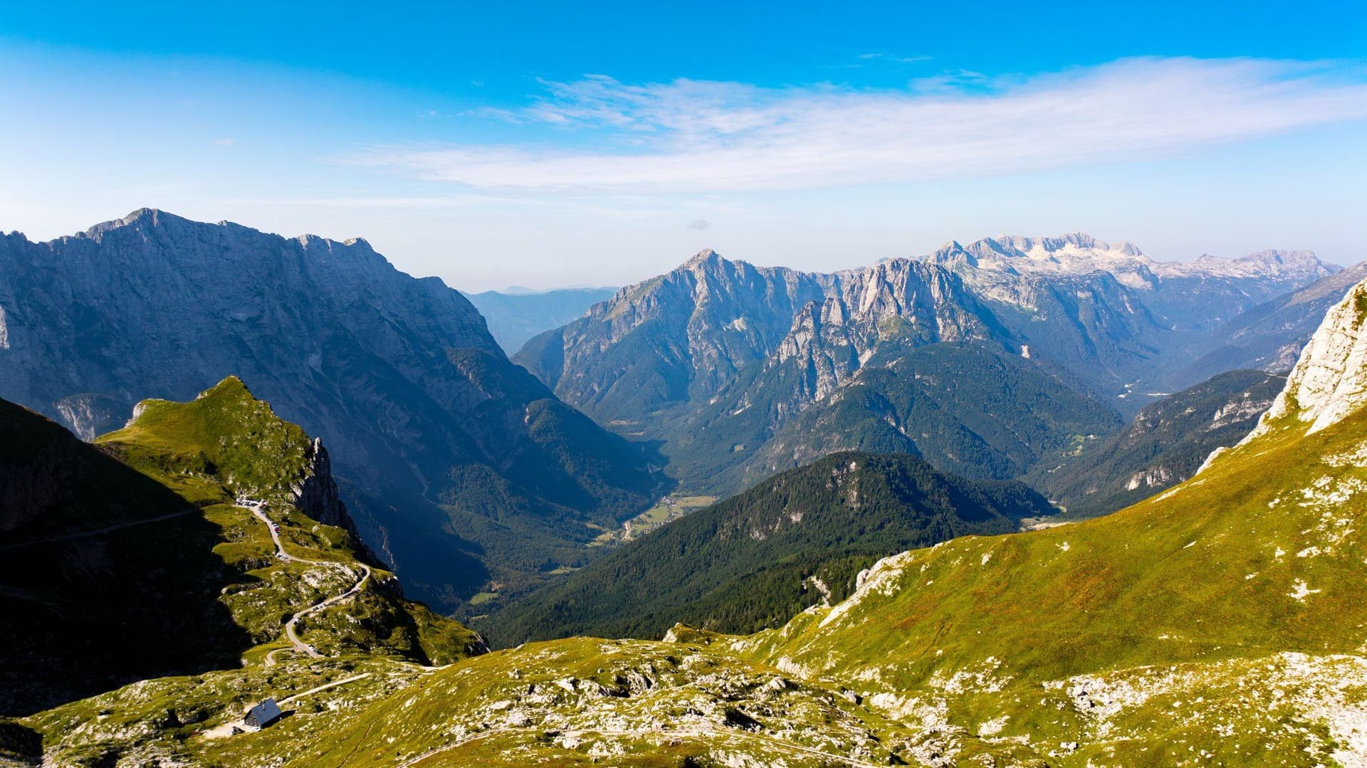
Three separate ranges make up the Slovenian Alps. The Julian Alps, in the northwest, are the largest and highest, built from limestone and dolomite up to 200 million years old and folded upward from what was once a shallow sea; hikers occasionally find fossilised shellfish embedded in the rock underfoot. Fifteen of the country's peaks over 2,000 m sit within this range, including Triglav itself.
To the north, the Karavanke stretch roughly 120 km (75 mi) along the Austrian border, a long single ridge that is gentler and greener on its Slovenian side than its northern face. East of Ljubljana, the Kamnik-Savinja Alps rise as the only high range entirely within Slovenian territory, wilder and less accessible, with fewer huts and fewer roads reaching the trailheads.
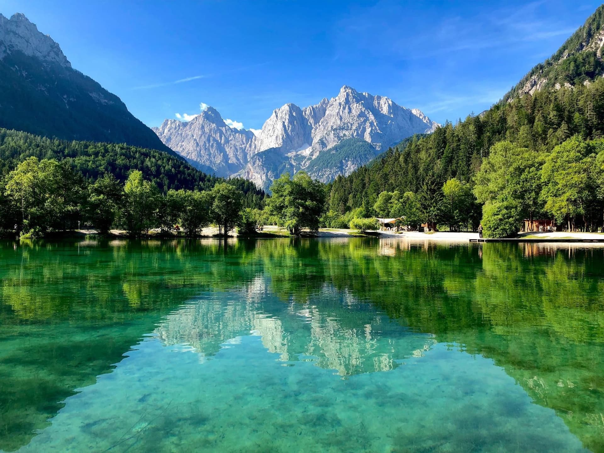
Above roughly 1,600 m (5,249 ft), the tree line gives way to bare limestone: loose gravel, exposed rock, and very little surface water, since porous limestone drains fast. Below that line, meltwater reappears in the valleys as some of the clearest rivers in Europe, most famously the turquoise Soča, which cuts the Julian Alps in two on its run south toward the Adriatic. Nearly all of the range sits inside Triglav National Park, one of the oldest protected areas in Europe, and UNESCO recognises the Julian Alps as a biosphere reserve.
The Karst plateau in the southwest gives this kind of terrain its name worldwide: the word karst comes from the Kras region here. Limestone dissolved by water over millennia has produced sinkholes, dry valleys and roughly 12,000 recorded caves, including Postojna, one of the largest cave systems open to visitors in Europe. Hiking trails through the Karst and the neighbouring Vipava Valley cross this terrain at ground level, threading through vineyards and stone villages rather than over passes, a useful contrast for any multi-day itinerary that also includes high alpine stages.
South and east of the high peaks, the land softens into subalpine hills: forested ridgelines, scattered mountain farms, and the wine-growing valleys of Vipava, the Karst and Goriška Brda. Nearly 60 percent of Slovenia is forest, the third-highest share in Europe, and the ecosystem shows it. Hikers share the high country with chamois, alpine ibex, marmots and golden eagles, while the forested south, around Kočevje, holds one of the densest brown bear populations in Europe, rarely seen but a real part of the landscape. This layering, high alpine limestone, subalpine forest, karst and coast, is what allows a single hiking trip through Slovenia to feel like several countries in one.
Slovenia's trail corridors carry more history than their trailhead signage usually admits. The land that is now Slovenia has been governed, at various points, by the Roman Empire, Charlemagne's Frankish kingdom, the Habsburg monarchy for the better part of six centuries, the Kingdom of Serbs, Croats and Slovenes, socialist Yugoslavia, and finally, since 1991, an independent republic. Hikers crossing the Vršič Pass or descending into the Soča Valley are walking through the physical evidence of that layered past, not around it.
The Soča Valley in particular carries the weight of the First World War. From 1915 to 1917, the Isonzo Front, one of the war's deadliest and least remembered campaigns, ran along what is now the Alpe Adria Trail and the dedicated Walk of Peace route. Trenches, gun emplacements and military cemeteries remain visible along sections of trail near Kobarid and Bovec, and Ernest Hemingway, who served as an ambulance driver nearby, drew on the front for A Farewell to Arms. Just west of the Julian Alps, the Rapallo border divided Italy and the Kingdom of Serbs, Croats and Slovenes from 1920 to 1947, and several via ferratas above Kranjska Gora, including the historic route to Mala Mojstrovka, were built during that period to serve border defences rather than tourism.
Slovenia's Alpine identity, though, predates any of these borders. Long before organised trekking existed, shepherds moved livestock up to high pastures like Velika Planina each summer, a practice that continues today in one of Europe's oldest surviving alpine settlements, a cluster of steep-roofed herders' huts still producing traditional mountain dairy each season. That rural, working relationship with the high country, rather than a purely recreational one, still shapes how Slovenes talk about their mountains.
Even the language along the trail shifts with geography. Place names in the Julian Alps and Karavanke carry centuries of German-Austrian administrative influence, while villages in the Vipava Valley and Karst lean toward Italian and Friulian trade contacts across what is now the Italian border. Slovene itself, a South Slavic language with unusually rich local dialects, ties the corridor together, and hikers who pick up a handful of words, dober dan for good day, hvala for thank you, tend to find doors open more easily in mountain huts and village guesthouses alike.
Ljubljana, the country's compact capital, sits close enough to the Kamnik-Savinja Alps that the peaks are visible from the old castle hill on a clear day, a reminder that in Slovenia, unlike in many alpine nations, the mountains and the capital are never far apart. That proximity has helped keep hiking a genuinely national pastime rather than a specialist pursuit: on a Sunday in season, the trail to a mountain hut is as likely to be full of local families as visiting trekkers.
No single feature shapes a multi-day hike in Slovenia more than its mountain hut network. The Alpine Association of Slovenia, known locally as PZS and founded in 1893, maintains and largely owns the country's roughly 170 planinski dom and koča, mountain lodges spaced a day's walk apart across all three ranges. Without this network, hut-to-hut trekking across the Julian Alps or the Kamnik-Savinja Alps would not exist in anything like its current form; there is no equivalent commercial lodge system to fall back on above the tree line.
Slovenian huts operate on a seasonal rhythm tied directly to snowmelt. Most open from late June through late September, and hiking at altitude outside that window means either winter mountaineering conditions or finding huts locked and unstaffed. Inside a working hut, expect dormitory-style bunks rather than private rooms, shared washrooms that do not always guarantee a hot shower, and a kitchen serving simple, hearty food, often a single stew-like dish eaten with a spoon, rather than a restaurant menu. Reaching that hut and finding a bed, a hot meal and other hikers to share the evening with, after a long day above the tree line, is for many visitors the emotional center of the entire trip.
The trail marking that connects these huts deserves its own mention. Every official PZS trail carries the Knafelc waymark, a red circle with a white center painted directly onto rock, trees or posts, named for the mountaineer who standardized it in the 1950s. It is simple, consistent, and visible in almost any light, which means a hiker with no local trail experience can follow a route across an entire mountain range using nothing more than a paper map and the paint on the rock. Local municipal trails, layered on top of the PZS network, use a separate yellow signpost system tied to regional tourist maps, so it pays to know which system a given route belongs to before setting out.
PZS membership, along with reciprocal membership in most European alpine clubs through the UIAA network, earns a discount on hut beds and meals, typically a few euros per item, worth arranging in advance for anyone planning several consecutive hut stays. The organisation also runs a live trail status site flagging closures, storm damage or snow lingering into summer, essential reading before any high-altitude departure. Few destinations tie their national identity to a hiking infrastructure quite this literally. In Slovenia, the hut network is not a convenience bolted onto the landscape. It is close to the whole reason multi-day hiking in the Julian Alps works at all.
Slovenia's hiking calendar splits sharply between the high alpine routes and everything below the tree line, and matching a trip to the right window matters more here than in most alpine destinations.
Valley trails wake up first. Daytime temperatures around Bled, Bohinj and the Vipava Valley typically reach 15 to 20°C (59 to 68°F), with cooler mornings and the year's most reliable wildflower displays. The Karavanke slopes around Mount Golica turn white with blooming daffodils in May, one of the country's most photographed hiking moments, and lower valley trails are at their greenest and least crowded before the summer rush. High mountain huts remain closed and snow can linger above 1,800 m (5,906 ft) well into June, so this is a season for valley and hill walking rather than summit attempts.
This is the only reliable window for hut-to-hut hiking above the tree line. Huts open in stages from late June, generally all operating by mid-July, and close again by late September. Daytime temperatures at altitude run 15 to 25°C (59 to 77°F), dropping fast after dark, while valley towns can reach 28 to 32°C (82 to 90°F) in July and August. Afternoon thunderstorms are common and can build quickly on exposed ridgelines, so an early alpine start, setting off by 6 or 7 a.m., is standard practice rather than an option. July and August are peak season on popular routes like the Seven Triglav Lakes trek, so hut beds should be booked well ahead.
Many local guides consider early autumn the best time for hiking Slovenia's mid-altitude trails and wine regions. September brings the grape harvest across Vipava, the Karst and Goriška Brda, clearer air, and daytime temperatures around 18 to 24°C (64 to 75°F). October adds golden larch colour to the high valleys, though most mountain huts have already closed by then, pushing high-altitude hikers back down to day-hike territory.
Winter is not recommended for standard hiking in Slovenia. Snow closes the high passes, huts are shuttered, and daylight drops to eight hours or less. This window instead belongs to ski touring, snowshoeing and winter mountaineering with appropriate equipment and, ideally, a local guide; ordinary hiking gear and route-finding skills are not sufficient once snow covers the Knafelc waymarks.
Dive into our curated Slovenia hiking adventures today!
Climbing Triglav is close to a national obligation. At 2,864 m (9,396 ft), it is not only Slovenia's highest peak but its most symbolically loaded one, and Slovenes have long held that a person is not truly a countryman until they have stood on its summit at least once. The mountain sits at the heart of Triglav National Park, and on a clear day the view from the top reaches across nearly the entire country.
There are several approach routes, most requiring two or three days. The classic line from Pokljuka or Bohinj climbs first through forest and alpine meadow to the Kredarica hut, Slovenia's highest, before a final push to the summit along an exposed, cable-secured ridge that demands a head for heights and a via ferrata set. The route from Vrata Valley on the north side is shorter but steeper. None of the standard routes suit hikers without scrambling experience or a guide, and conditions on the final ridge, ice, wind, crowding, change from year to year.
Below the summit, the huts near Triglav have their own reputation for lively evenings: hikers who have spent all day on exposed rock tend to celebrate hard once safely inside, with accordion music and shared beer a fairly common feature of a Kredarica evening in peak season.
Quick Facts: Mount Triglav Total Distance: 20 to 25 km (12 to 16 mi) round trip depending on approach Duration: 2 to 3 days Difficulty: Very Challenging High Point: Triglav summit, 2,864 m (9,396 ft) Best Season: Late June to September Safety Note: Final ridge is exposed and cable-secured; via ferrata equipment and a head for heights are essential
If Triglav is the obligation, the Seven Lakes Valley is the payoff. This multi-day loop through Triglav National Park strings together a chain of glacial lakes at progressively higher elevations, ending near the tree line in a landscape of bare limestone, dwarf pine and turquoise water. It can be combined with a Triglav summit attempt or hiked as a standalone trek.
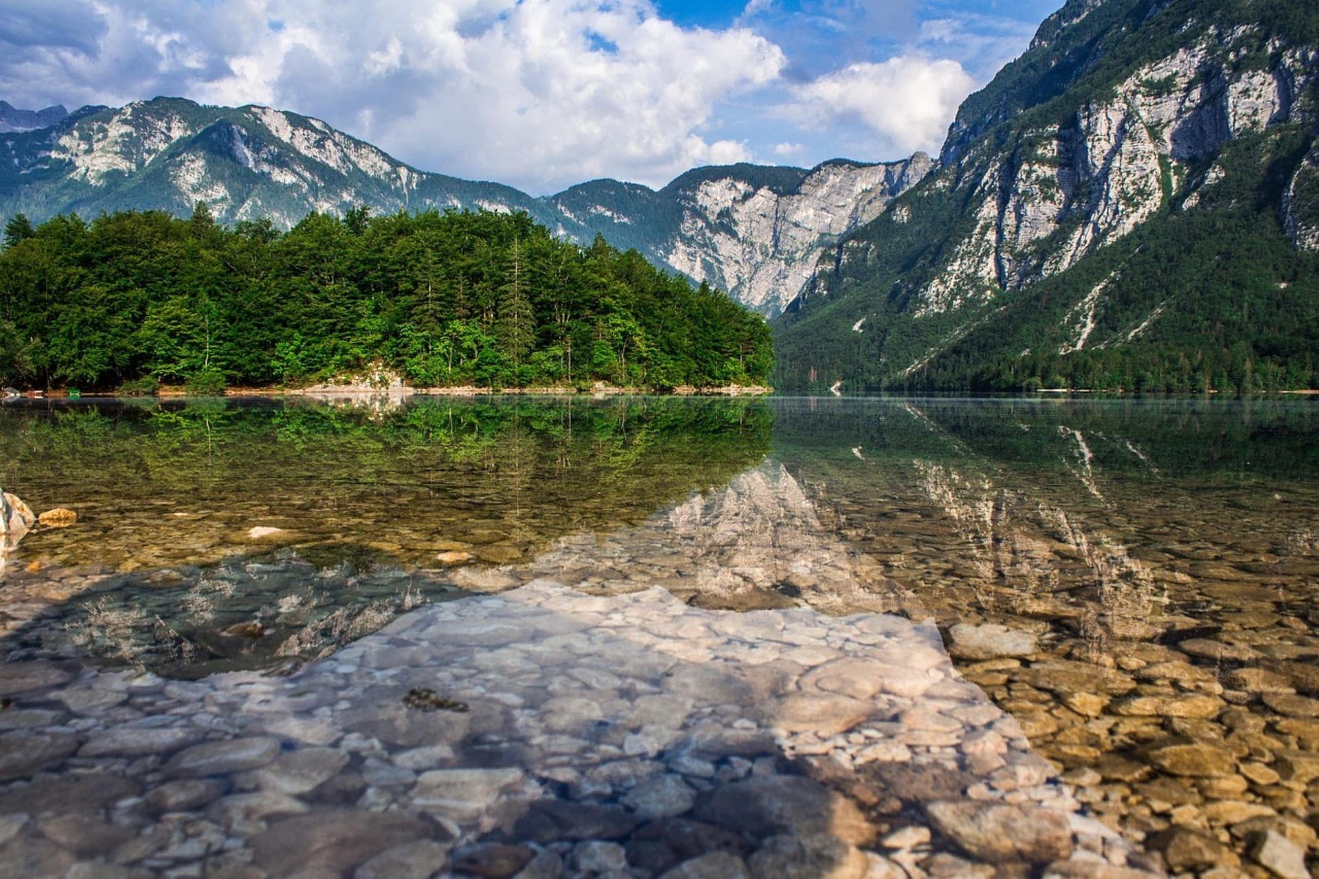
The trail typically runs hut to hut over two to three days, starting from Stara Fužina near Lake Bohinj, climbing past Dvojno Jezero (Double Lake) and up through a series of smaller lakes before reaching the valley's high point near the Dolič Pass. Water levels vary noticeably by year and season; a wet summer can fill the upper lakes to the brim, while a dry one leaves some reduced to damp basins, so conditions genuinely differ from one visit to the next. Alpine ibex sightings are common in the upper valley.
Quick Facts: Seven Triglav Lakes Valley Total Distance: 25 km (16 mi) as part of the full Triglav loop Duration: 2 to 3 days Difficulty: Challenging High Point: Near Dolič Pass, approximately 2,164 m (7,100 ft) Best Season: July to September Combined Well With: A Mount Triglav summit extension
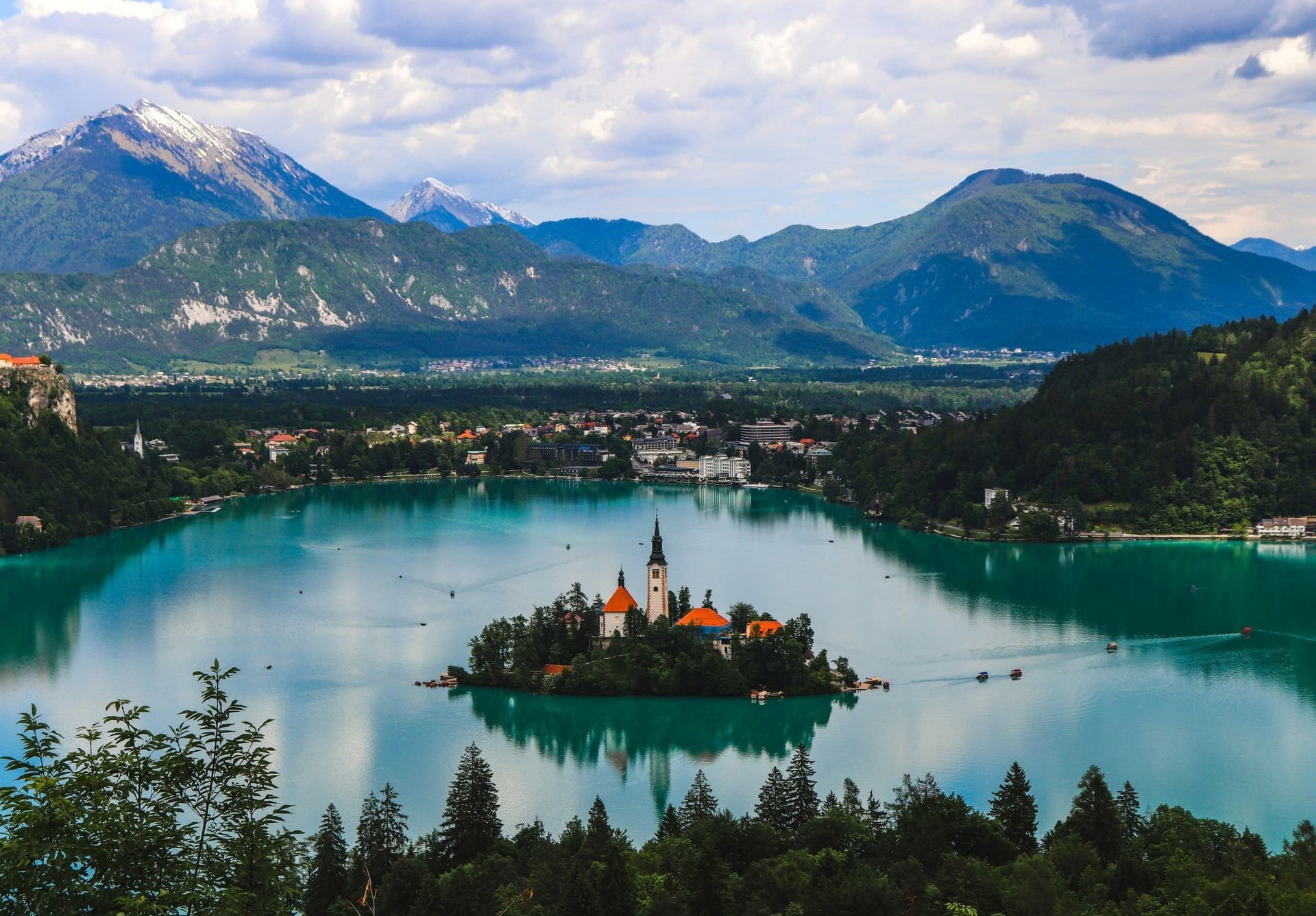
For hikers who want the scenery of the Julian Alps without exposed scrambling, the Juliana Trail is the answer. Completed as a circular route around Triglav National Park, it links Lake Bled, Lake Bohinj, the Soča Valley and the forested Pokljuka plateau over sixteen inn-to-inn stages, with no technical terrain and daily luggage transfer available through most tour operators.
The trail splits into northwest and southeast halves; the southeast section tends toward gentler valley walking through farms and villages, while the northwest section climbs higher into forest and alpine pasture with more dramatic mountain views. Because it stays below the high alpine zone and has no huts of its own, relying instead on village guesthouses, the Juliana Trail is walkable from April through November, well outside the narrow hut season a Triglav attempt requires, making it the more flexible choice for travellers working around fixed dates.
Quick Facts: Juliana Trail Total Distance: 270 km (168 mi) full circuit across 16 stages Duration: 7 to 8 days for the highlight stages; 12 to 16 days for the full circuit Difficulty: Moderate Accommodation: Guesthouses and small hotels, luggage transfer available Best Season: April to November Highlights: Lake Bled, Lake Bohinj, Pokljuka forest, Soča Valley villages
The Alpe Adria Trail is the long game: 750 km (466 mi) linking the foot of Austria's Grossglockner to Trieste on the Adriatic, threading through Slovenia's Karavanke and Julian Alps along the way. It is not a high-alpine trail. It favours valleys, passes and inn-to-inn stages instead, which is exactly why operators often pair it with the Juliana Trail rather than a hut-to-hut hike.
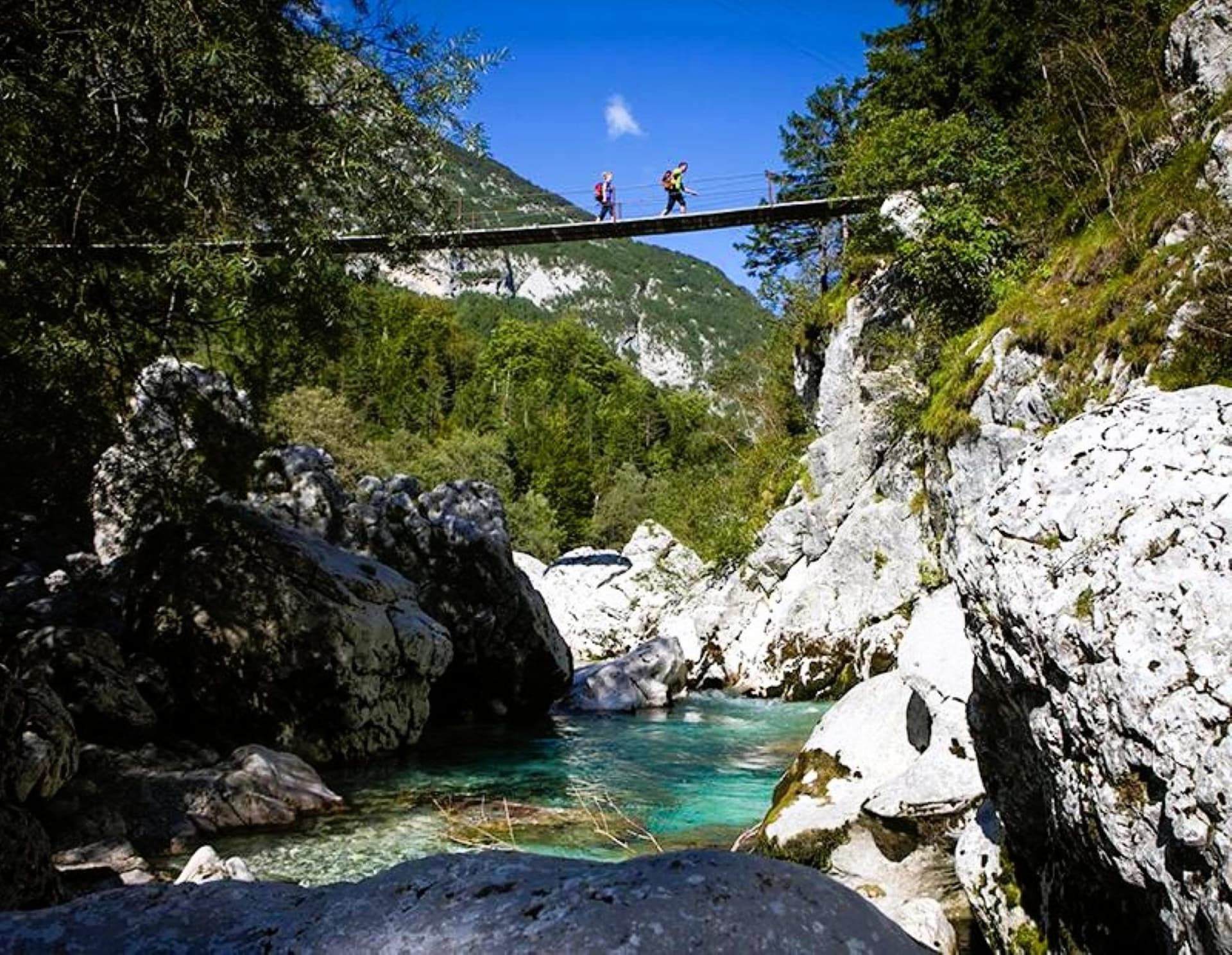
Within Slovenia, the standout stretch runs from Kranjska Gora over the Vršič Pass, at 1,611 m (5,285 ft) the highest road pass in the country, and down into the Soča Valley. From there the trail follows the emerald Soča river south past Bovec and Kobarid, tracing sections of the historic Isonzo Front and the parallel Walk of Peace, before climbing back into the vineyards of Goriška Brda and the western Karst on its way toward Italy. Few single stretches pack in more landscape change: alpine pass, glacial river, wartime history and wine country inside three or four days.
Quick Facts: Alpe Adria Trail (Slovenian Section) Total Distance: 750 km (466 mi) full trail; Slovenian stage selections run 60 to 100 km (37 to 62 mi) Duration: 3 to 5 days for the Slovenian highlights Difficulty: Moderate High Point: Vršič Pass, 1,611 m (5,285 ft) Best Season: April to November Highlights: Vršič Pass, Soča Valley, Isonzo Front sites, Goriška Brda vineyards
For a gentler introduction to Slovenia's high country, Velika Planina is hard to beat. This alpine plateau, roughly 1,500 m (4,921 ft) above sea level and about 30 km (19 mi) north of Ljubljana, holds one of Europe's oldest continuously used shepherd settlements: a scatter of steep-roofed wooden huts still producing mountain dairy each summer. A cable car and short walk reach the plateau itself, or hikers can climb up on foot for a longer day.
Beyond Velika Planina, the wider Kamnik-Savinja Alps reward hikers willing to work harder for fewer crowds. The Logar Valley, a glacially carved valley ending at the Rinka waterfall, offers an easy family walk, while routes toward Grintovec, the range's highest peak at 2,558 m (8,392 ft), or the ridge above Jezersko involve serious elevation gain on trails with far less infrastructure than the Julian Alps. This is where hikers looking for quieter routes tend to end up.
Quick Facts: Velika Planina and Kamnik-Savinja Alps Total Distance: 6 to 8 km (4 to 5 mi) round trip for Velika Planina plateau walks Duration: Half day for Velika Planina; 2 to 4 days for a Kamnik-Savinja traverse Difficulty: Easy (Velika Planina) to Very Challenging (Grintovec and ridge routes) High Point: Grintovec, 2,558 m (8,392 ft) Best Season: May to October Gateway Town: Kamnik or Jezersko
Get started with your Hiking adventure now!
Food and drink in Slovenia changes with the terrain almost as often as the geology does, since the country sits at the meeting point of Alpine, Mediterranean, Balkan and Pannonian food traditions. In the mountain huts of the Julian Alps and Kamnik-Savinja Alps, expect simple, warming food built for hikers who have earned their calories: jota, a thick stew of sauerkraut, beans and smoked pork, and ajdovi žganci, a crumbly buckwheat porridge traditionally served with cracklings or milk. The single most requested hut dish, though, is štruklji, rolled dumplings that can be sweet or savoury depending on the filling, walnut and cinnamon in one version, tarragon or cottage cheese in another, and often the best reason to detour to a particular hut on a long day.
Lower down, in the valleys around Bled and Bohinj, expect trout from cold mountain streams and kranjska klobasa, Slovenia's protected-status Carniolan sausage, usually served with sauerkraut and mustard. Push further south into the Karst and Vipava Valley and the food shifts toward Mediterranean and Italian influence: dry-cured kraški pršut ham, olive oil, and hearty bean soups, paired with teran, a deep red wine unique to the Karst's iron-rich soil. Pohorje in the northeast has its own culinary tradition built around forest mushrooms, buckwheat and honey; Slovenia takes beekeeping seriously, with its own protected Carniolan grey bee and honey featuring in everything from breakfast to a herbal digestif.
One cultural food ritual worth knowing before arriving: at farms, guesthouses and rural huts across the country, it is common practice to be offered a small glass of domače žganje, homemade fruit or herbal schnapps, often as a welcome or a send-off rather than something ordered from a menu. Declining is entirely acceptable, but accepting one, briefly, is a small but genuine way into Slovenian hospitality.
On resupply logistics: villages along the major long-distance trails, the Juliana Trail and Alpe Adria Trail in particular, pass through towns with small supermarkets, Mercator and Spar are the two national chains, roughly every one to two days, so carrying more than two days of food is rarely necessary on those routes. Above the tree line on hut-to-hut routes, food options narrow considerably; huts sell basic packaged snacks and simple hot meals, but variety shrinks the higher and more remote the hut, so hikers with dietary restrictions should carry backup supplies for multi-day stretches deep in the Julian Alps.
Accommodation for hiking in Slovenia splits cleanly by altitude and trail type, and understanding the system before booking saves considerable confusion once on the ground.
Above the tree line, on routes like the Seven Triglav Lakes trek or a Triglav summit attempt, accommodation means mountain huts, planinski dom or koča, run mostly by the Alpine Association of Slovenia (PZS). Expect dormitory bunks rather than private rooms, shared washrooms, and half-board pricing that typically runs from about 35 to 55 EUR per person per night including dinner and breakfast. Reservations are close to mandatory in July and August on popular routes; huts operate on a first-booked basis and can fill weeks ahead in peak season. PZS members, and members of most European alpine clubs through UIAA reciprocity, receive a modest discount on both beds and meals, usually a few euros per item, worth arranging before departure if planning several consecutive hut nights.
On the inn-to-inn routes, the Juliana Trail and Alpe Adria Trail, accommodation shifts to guesthouses, small family-run hotels and rural farm stays, generally in the 60 to 120 EUR per night range for a double room with private bathroom, breakfast included. These trails have no huts of their own, so most operators arrange daily luggage transfer between stops, letting hikers carry only a day pack. Below both systems, valley base towns like Bled, Bohinj and Kranjska Gora offer a full range from boutique hotels to budget guesthouses, useful for hikers building a day-hike itinerary rather than a point-to-point trek. Wild camping is not permitted inside Triglav National Park or most other protected areas; designated campsites exist in valley towns for hikers who want a budget alternative to hotels.
One accommodation-specific custom worth noting: many rural guesthouses and farm stays operate on a half-board basis by default, dinner included, rather than offering room-only rates, since the family running the property is often also cooking the evening meal. Confirm this in advance if a specific dinner arrangement matters to the itinerary.
The main international gateway is Ljubljana Jože Pučnik Airport, roughly 45 minutes by car or shuttle from the capital and about an hour from Bled. Direct trains and buses connect Ljubljana to Bled, Bohinj and Kranjska Gora within one to two hours. Hikers targeting the western Julian Alps or the Soča Valley sometimes find it faster to fly into Trieste, Italy, or Klagenfurt, Austria, both within a two-hour transfer of the Slovenian trailheads.
Sidarta's 1:25,000 hiking maps remain the standard for the high alpine terrain, while the Alpine Association of Slovenia (PZS) publishes maps covering the wider trail network. Most hikers now combine a paper map with a GPS app; Outdooractive and Gaia GPS both carry detailed Slovenian trail data, and the Juliana Trail has its own dedicated app with offline maps for each of its stages. Trail closures and storm damage are posted in near real time on the PZS trail status site, worth checking the morning of any high-altitude departure.
The Alpe Adria Trail crosses from Slovenia into Italy near the Predel Pass and touches Austrian territory further north, all within the Schengen Area, so no formal border checks apply for EU and many other passport holders, though carrying identification remains sensible regardless.
Slovenia uses the euro. Card payment is widely accepted in towns and larger huts, but smaller, more remote huts often take cash only, so carrying euros in small denominations is a sensible precaution on any multi-day hut route.
Ticks are present in forested and lower-altitude terrain from spring through autumn and can carry tick-borne encephalitis and Lyme disease; tick repellent and a post-hike check are standard practice. Afternoon thunderstorms build quickly in summer on exposed ridgelines, making an early start the norm on high routes rather than the exception. Mobile phone coverage is inconsistent above the tree line, and while the Slovenian mountain rescue service (Gorska reševalna služba) is well regarded, appropriate travel insurance covering mountain rescue is worth confirming before any hut-to-hut trip. Via ferrata sections, including the final ridge on Mount Triglav, require a helmet, harness and via ferrata set; renting this equipment locally in Bled, Bohinj or Kranjska Gora is straightforward for hikers who prefer not to travel with it.
Slovenia offers routes across the full range of difficulty. Valley walks around Lake Bled and Lake Bohinj, and most of the Juliana Trail, involve no technical terrain and suit hikers with average fitness. High alpine routes, including Mount Triglav and much of the Julian Alps above the tree line, involve exposed ridgelines, steel cable sections and genuine scrambling, and are not appropriate for a first-time hiker without guidance.
No permit is required simply to hike within Triglav National Park, which is freely accessible on marked trails. Some activities within the park, camping outside designated sites or off-trail travel in sensitive zones, are restricted, and a small entrance fee applies to a handful of specific attractions such as certain waterfalls, but general hiking access is unrestricted.
Independent hiking works well on marked, non-technical routes like the Juliana Trail or valley day hikes, where waymarking is reliable and infrastructure is developed. For Mount Triglav, via ferrata routes, or any hut-to-hut trek involving exposed ridgelines, a local guide is strongly recommended for hikers without prior alpine scrambling experience, both for safety and for route-finding in poor visibility.
Late June through mid-September is the only reliable window for hut-to-hut hiking above the tree line, since huts operate on this schedule and snow can persist later into the season at altitude. July and August offer the most settled weather but the largest crowds on popular routes; early and late season carries higher risk of residual snow or early storms.
Yes, on the standard summit routes. The final ridge below the peak is exposed and secured with steel cable, and a via ferrata set, harness and helmet are considered standard equipment rather than optional extras. Equipment can be rented in Bled, Bohinj or Kranjska Gora.
Huts (planinski dom or koča) offer dormitory-style beds, shared washrooms and simple hot meals on a half-board basis. Reservations are recommended well ahead for July and August, and PZS or reciprocal alpine club membership earns a discount on beds and meals. Huts operate seasonally, generally from late June through late September.
Wild camping is not permitted within Triglav National Park or most other protected natural areas. Designated campsites are available in valley towns including Bled, Bohinj and Kranjska Gora, offering a budget alternative to guesthouses and hotels for hikers building a longer, lower-cost itinerary.
Beyond standard hiking gear, pack a via ferrata set if attempting any exposed route, a headlamp, a sleeping bag liner (huts do not always supply bedding), cash in small denominations for remote huts, and a water filter or purification tablets, since surface water is scarce above the tree line.
The Knafelc waymark, a red circle with a white center painted directly onto rock, trees or posts, marks the official PZS trail network across the country. Local municipal trails use a separate yellow signpost system tied to regional tourist maps, so it is worth confirming which network a given route belongs to before setting out.
Get started with your Hiking adventure now!
Hiking Slovenia is for a particular kind of traveller: someone fit enough to earn a summit view, curious enough to want the history behind a trail, and patient enough to accept that the best huts have no menu and no signal. Whether the goal is a two-day Triglav ascent, a full circuit of the Juliana Trail, or a week mixing high alpine stages with vineyard walking in the Karst, the country condenses an unusual range of alpine and Mediterranean experience into a footprint smaller than most single American states. With Slovenia's hut network filling earlier each summer, planning several months ahead has become the norm for anyone serious about a Julian Alps itinerary.
What sets the experience apart, in the end, is the trail culture itself. A red-and-white waymark system built by volunteers, a national identity genuinely tied to its mountains, and villages where a greeting on the path still means something. Explore our guided hiking journeys at Art of Active Travel.
Dive into our curated Slovenia hiking adventures today!
Create a private trip or join a small-group departure.